There are two types of maps that are used by researchers looking into the past: historical atlases & maps and historic (old) maps.
An historical atlas is an atlas that contains maps that depict historical events and historical topics. These atlases can be used by researchers to understand the historical geo-political landscapes of a given period or region of the world. Historical Atlases usually contain thematic maps depicting historic geopolitical boundaries, but may also include socio-economic data displayed using on maps, tables and charts. Historical Atlases may also include reproductions of maps from that period of focus. In addition, it is also common to have photograph and essays included in historical atlases.
For information on how to find historic (old) maps, such as a map produced in the 19th Century, please consult our historic map guide or visit the scanned map collections section of this guide.
The Map Collection stacks, the Scott Library stacks and Frost Library all have historical atlas collections. To find a historical atlas on your topic, do a keyword search for “historical atlas” and include the place, historic event, or topic. For Example: “historical atlas” and “United States” ; “historical atlas” and Islam.
 Atlas of Canada. 2nd Edition.
by
 Atlas of Canada. 3rd Edition.
by
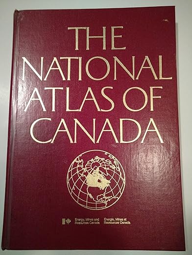
 The National Atlas of Canada. 4th Edition.
by